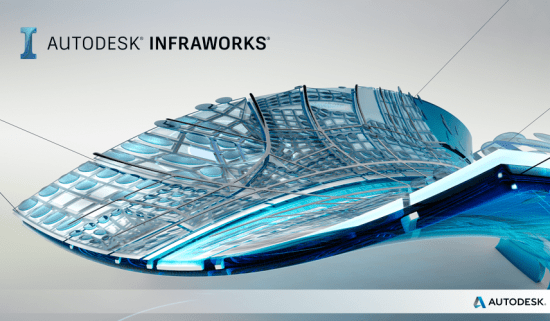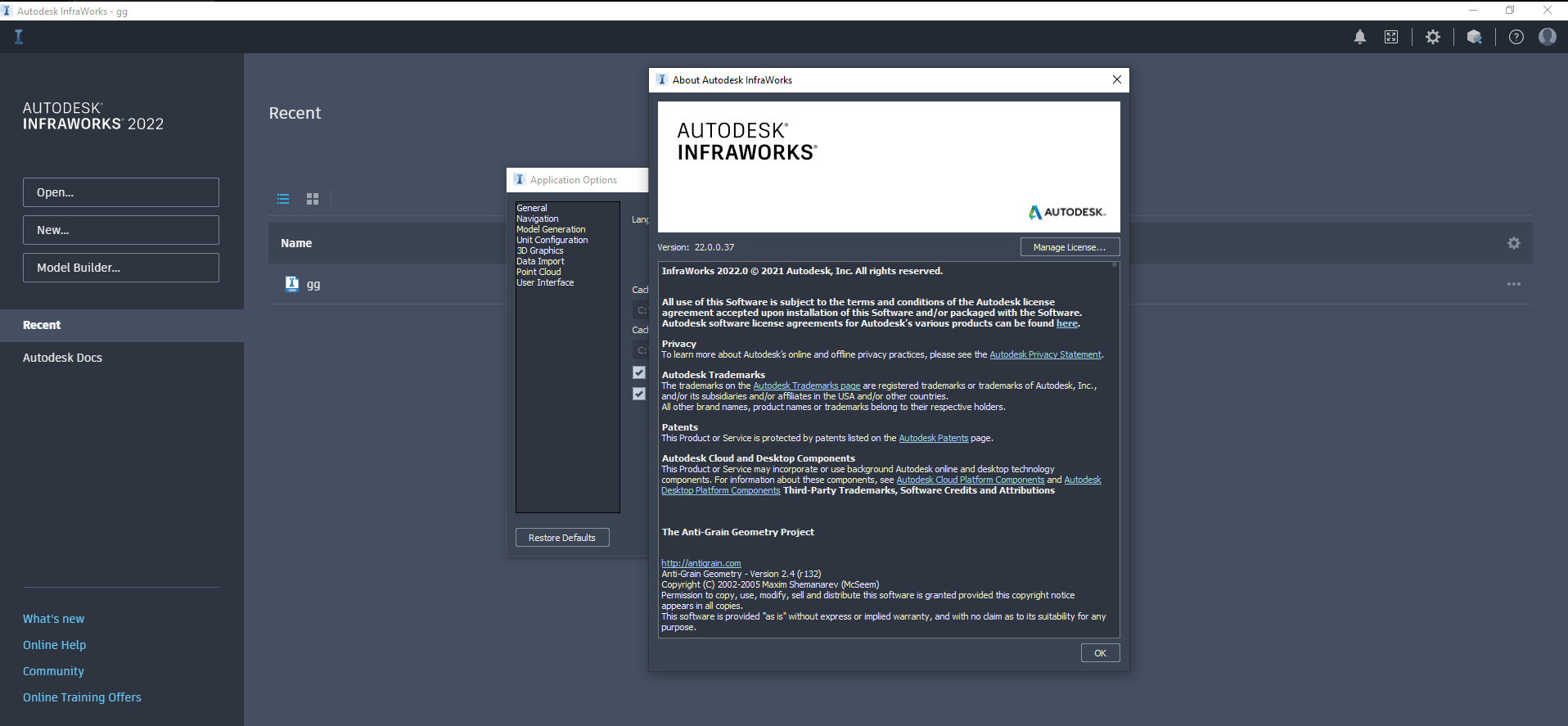
InfraWorks,原名InfraWorks 360,是Autodesk为城市基础设施设计和建模而推出的产品。有了这个程序,工程师们可以建立道路、高速公路、通勤路线、海上运河、城市火车基础设施、地铁等的三维模型。最后,可以输出模型来处理它们的细节。其他专门的CAD软件已经移植,例如,AutoCAD软件可用于处理这些基础设施的2D地图细节,或者强大的3ds max软件可用于构建动画模拟。在此模型构建软件中,首先打开模型构建器工具,使用矢量和栅格数据以及从其他类似来源提取的数据设计所需的环境。
x64 |语言:多语言|文件大小解压后:3.83 GB
InfraWorks 360的特性和应用:
-利用云进行项目团队协作
-符合全球标准
-非常好的城市丰富地图设施
-岩土建模能力
-利用全球定位系统数据
-使用向导简化关键操作
-计算所有的成本
-桥梁建模的全套设施
-记录项目投资的不同部分
-支持全球4000多个坐标系
-自动化数据集成矢量、栅格和其他数据,节省时间和成本
-允许对桥梁和道路以及其他类似结构进行分析,以防范事故和自然灾害,如飓风、火灾。
系统要求:
操作系统:微软视窗10 64位企业版或专业版
CPU:双核英特尔酷睿2或同等AMD处理器(四核英特尔酷睿i7、六核英特尔至强或更好的处理器强烈推荐);要使用光线跟踪渲染功能,CPU必须支持SSE 4.1
内存:最低8 GB内存(建议16gb以上)
显示器:1,280 x 720或更高(推荐1,440 x 900以上)
显示卡:任何支持DirectX 10.1的显卡,具有2 GB(或更大)的图形内存,支持8倍抗锯齿(8x AA),例如台式机的NVIDIA Quadro 5000或6000,笔记本电脑的NVIDIA Quadro 2000M或GeForce GT 650M(任何支持DirectX 10.1的显卡,1 GB图形内存支持2倍抗锯齿(最低2倍AA)
空间:16 GB

x64 | Languages:Multilanguage | File Size: 3.83 GB
Description:
InfraWorks, formerly known as InfraWorks 360, is a product of Autodesk for designing and modeling urban infrastructure. With this program it is possible for engineers to build 3D models of roads, highways, commuter routes, maritime canals, urban train infrastructures, subways, etc. And finally, the models can be output to work on their details. Other specialized CAD software has been ported, for example, AutoCAD software can be used to work on 2D map details of these infrastructures, or powerful 3ds max software can be used to build animated simulations. In this model building software, you first open the Model Builder tool, and you design the desired environment using vector and raster data as well as data extracted from other similar sources.
Features and Applications InfraWorks 360:
-Take advantage of the Cloud for team collaboration on projects
-Compliance with global standards
-Very good facilities for the urban rich maps
-Geotechnical Modeling power
-Take advantage of gps data
-Use the wizard To simplify critical operations
-Calculate the cost of all
-Full facilities for modeling of bridges
-Take notes in different parts of the project investment
-Support over 4,000 coordinate systems around the world
-Automated data integration vector, raster and other data to save time and cost
-Allowing the analysis of bridges and roads, and other similar structures against accidents and natural hazards such as hurricanes, fires.
System Requirements:
OS:Microsoft® Windows® 10 64-bit Enterprise or Pro
CPU:Dual-core Intel® Core™2 or equivalent AMD processor (Quad-core Intel® Core™ i7, 6-core Intel® Xeon®, or better processor highly recommended); to use the ray traced rendering functionality, CPU must support SSE 4.1
Memory:8 GB RAM minimum (16+ GB recommended)
Display:1,280 x 720 or greater (1,440 x 900+ recommended)
Display Card:Any DirectX® 10.1 capable graphics card with 2 GB (or more) graphics memory, supporting 8x Antialiasing (8x AA), such as NVIDIA Quadro® 5000 or 6000 for desktops and NVIDIA Quadro 2000M or GeForce® GT 650M for laptops; (Any DirectX 10.1 capable graphics card with 1 GB graphics memory supporting 2x antialiasing (2x AA) minimum)
Space:16 GB
云桥网络 为三维动画制作,游戏开发员、影视特效师等CG艺术家提供视频教程素材资源!
1、登录后,打赏30元成为VIP会员,全站资源免费获取!
2、资源默认为百度网盘链接,请用浏览器打开输入提取码不要有多余空格,如无法获取 请联系微信 yunqiaonet 补发。
3、分卷压缩包资源 需全部下载后解压第一个压缩包即可,下载过程不要强制中断 建议用winrar解压或360解压缩软件解压!
4、云桥网络平台所发布资源仅供用户自学自用,用户需以学习为目的,按需下载,严禁批量采集搬运共享资源等行为,望知悉!!!
5、云桥网络-CG数字艺术学习与资源分享平台,感谢您的赞赏与支持!平台所收取打赏费用仅作为平台服务器租赁及人员维护资金 费用不为素材本身费用,望理解知悉!


